In the context of the implementation of the objections, apart from the legalizing documents, a Photo Interpretation Technical Report is required in many cases. il Verde undertakes the drafting of the photo interpretation which functions as an integral argument in support of the already presented objection.
Photo Interpretation
The Photo interpretation technical report is the examination of conventional or telemetric images, with a stereoscopic or monoscopic method, for the analysis of photogrammetry findings, such as the identification of shape, dimension, exact geographical location, of vegetation, buildings and any other information that can be captured by aerial photographs, which are the basic means of photo interpretation.
Purpose of Photo Interpretation
The purpose of the photo interpretation is the correct documentation of the objection against the forest map, in terms of texture, tone and generally what is depicted in the wider study area, from the year 1945 until today. Consequently, the determination of the area as non-forest is proven, the types of crops and vegetation types are identified, the determination and assessment of land cover – land uses is achieved and finally the existence or non-existence of buildings, roads, paths, dry stones, terraces and so on, is proven.
Methodology
For the drafting of the Photo Interpretation Technical Report & Autopsy we utilize every available element that can contribute to the completeness and accuracy of the evaluation of the long-term natural and anthropogenic characteristics of the area.
The main tasks that are implemented are the following:
- Collection of all available mapping and remote sensing/geosurveying material, including but not limited to, Army Geographical Service (GIS) maps, aerial photographs in timeseries format, orthophoto maps and satellite imagery.
- Examination of additional data/documents such as notarial documents, acts of the administration, etc. which document the legal interest as well as any human activity within the area and its utilization for other types of use besides forestry.
- Performing tasks in specialized computer software, which include processing and observation of mapping and remote sensing/geo-surveying material, in order to establish, among other things, the temporal course of vegetation cover, the presence of anthropogenic elements and possible changes in the topography of the area .
- Autopsy/ visit to the area to ascertain the existing situation, perform the required measurements using a professional precision GPS and correlate these with the data observed in the remote sensing/geosensing material.
- Examination of the provisions of the forestry and relevant legislation, which are applied on a case-by-case basis.
- Compilation of the Photo Interpretation Technical Report & Autopsy where:
a) the findings of the photo interpretation and the autopsy are presented, as well as the supplementary data/documents and
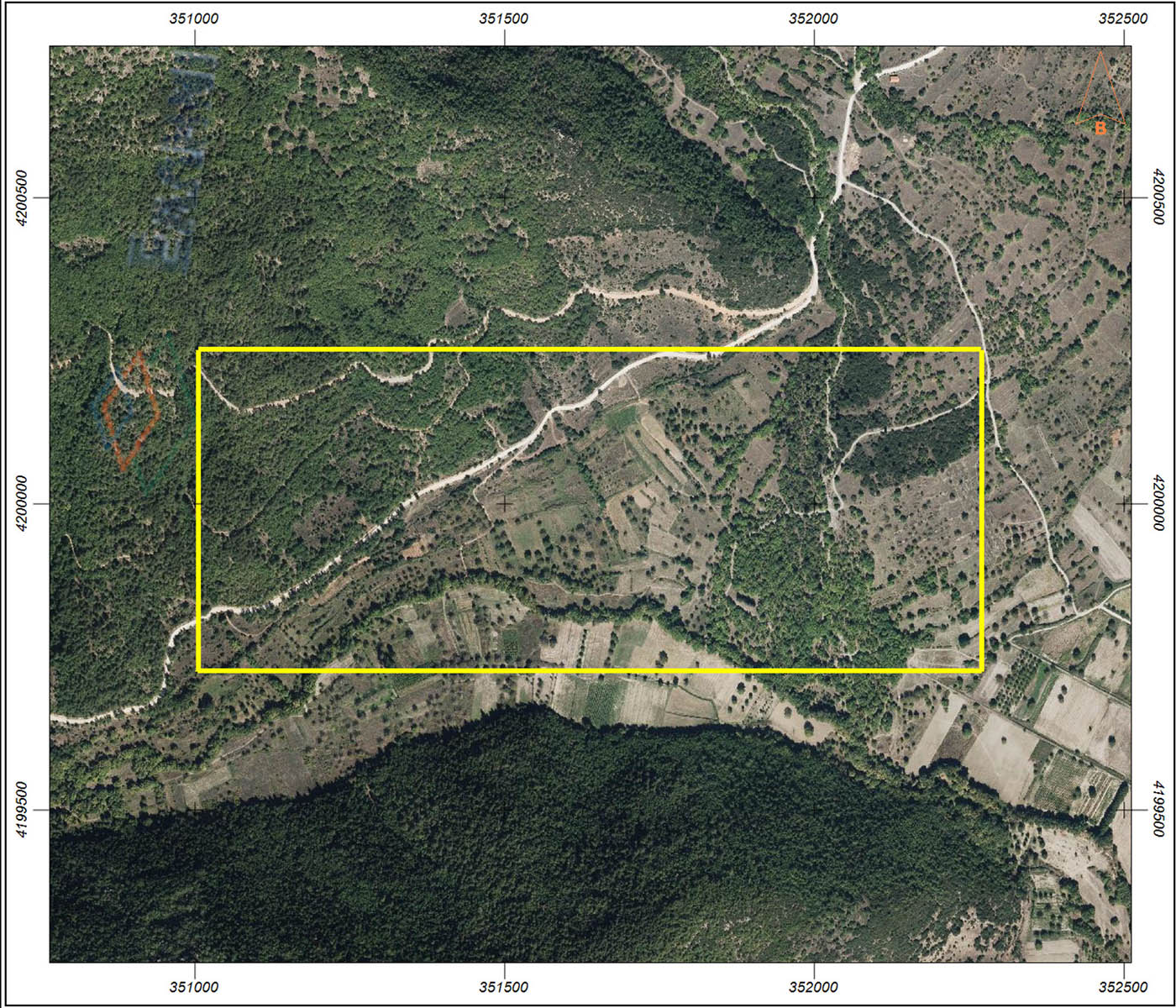
b) detailed documentation of the forest or non-forest character of the area based on the applicable forestry legislation is presented. The Technical Report is accompanied by images/excerpts of the remote sensing/geo-sensing material where the boundaries of the area under consideration and any other useful element are captured.
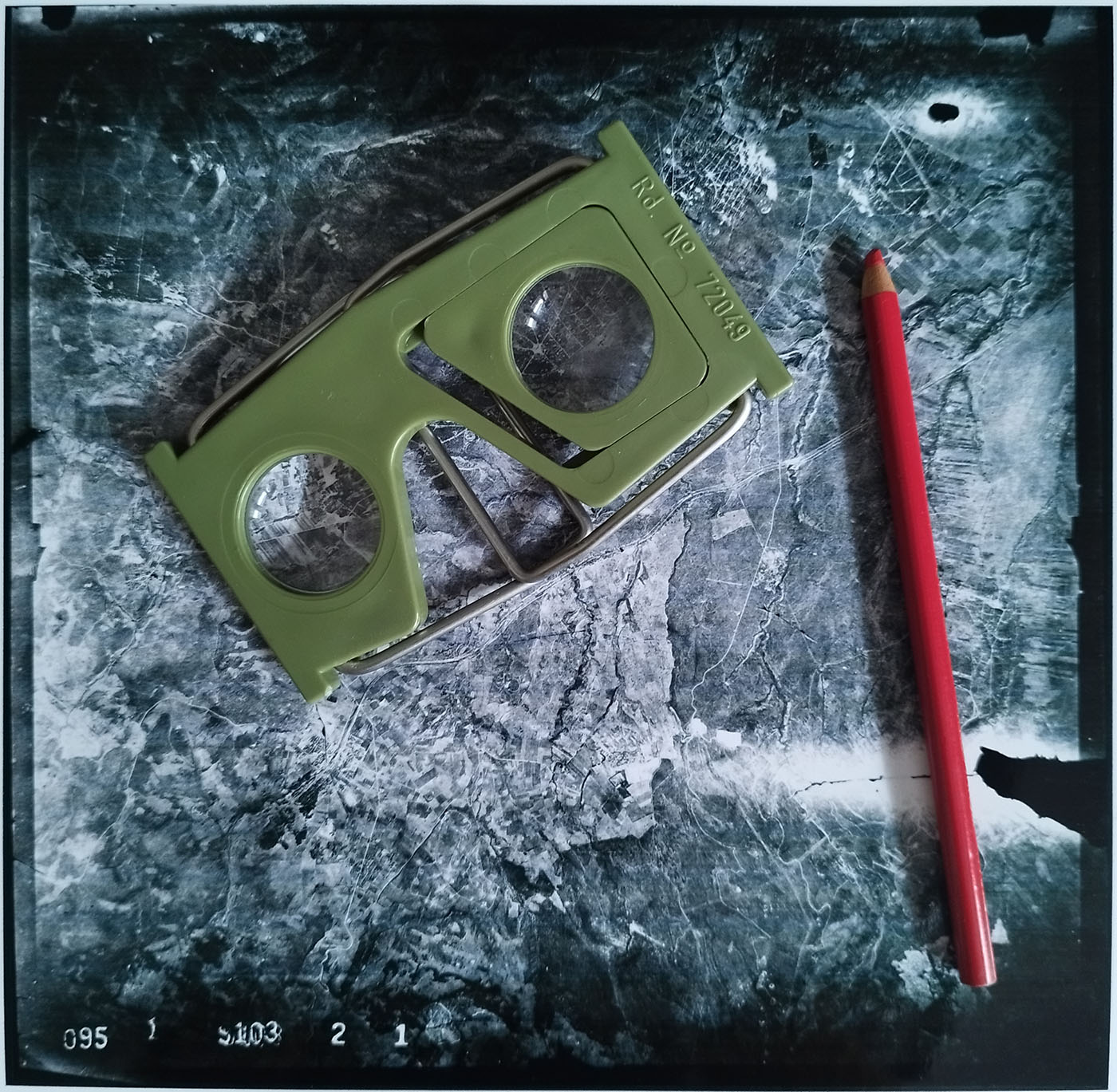
It is noted that the aerial photographs are georeferenced to the Hellenic Geodetic Reference System HGRS’87 with the greatest possible accuracy in terms of the location of the area under consideration and are examined so monoscopically as well as stereoscopically using special tools (stereoscopes). In addition, digital 3D stereo models of georeferenced aerial photographs, orthophoto maps and satellite images are also produced and examined.
The Geographical Information Systems software QGIS Desktop and ArcGIS Pro, and the Remote Sensing/Geosurveying software SNAP are used for all office work. The results of the work are presented at HGRS’87.
The main tools used are:
- 1:5,000 scale map of HAGS (Hellenic Army General Staff)
- Topographic diagram of appropriate scale
- Aerial photographs of HAGS of all available years of capture
- Orthophoto maps of the Greek Land Registry
- Forest map characterization limits
- Satellite Images