Photogrammetry Products
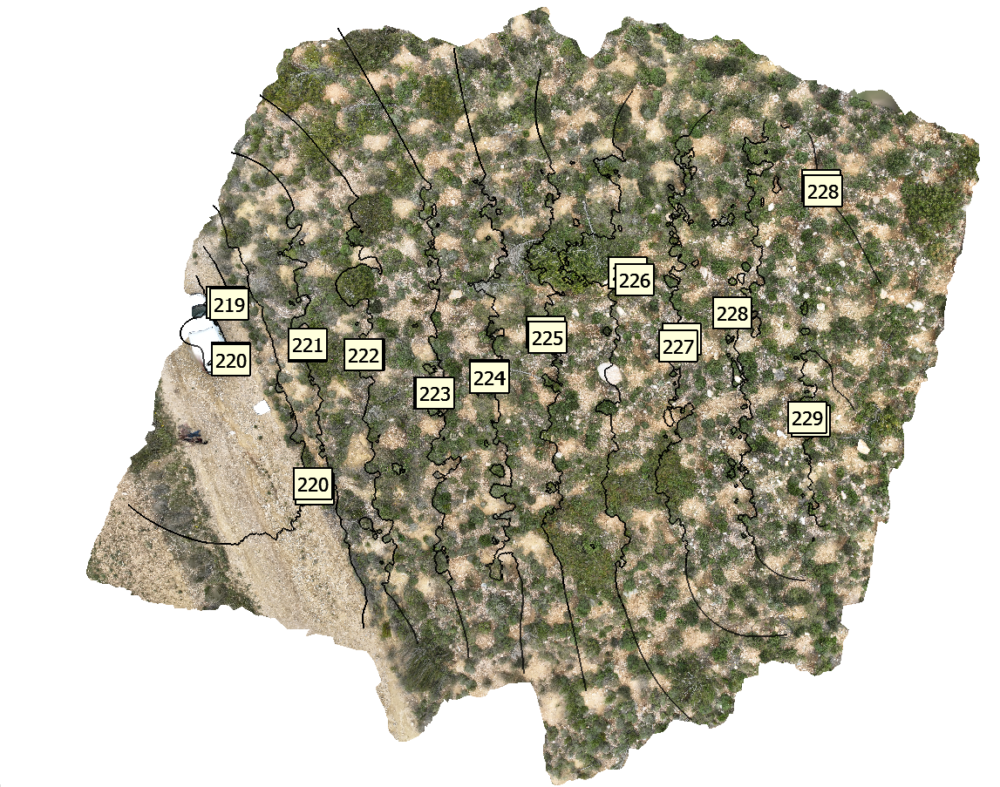
Digital photogrammetric products are classified as primary, such as digital files (X,Y or X,Y,Z), photogrammetric diagrams (orientations, iso-elevations), orthophotos – orthophoto maps, digital models ground and secondary, such as cartographic processing to create 3D models.

Editing Software
The digital data of the areas of interest are modeled in 2D Orthomosaics and 3D Modeling, through the processing software of Agisoft’s Metashape and Pix4Dmapper, used professionally by il Verde, aiming for the best result and the production of high resolution and precision products.
The use of the above software provides many advantages that make the use of Drones ideal for monitoring and recording plant biodiversity and wildlife, plant formations, biomass, timber, a forest’s health, soil erosion, illegal logging as well as for climatic and geophysical measurements, providing extremely important information for environmental studies. These software packages also specialize in mapping, surveying, volumetric analysis, energy, archaeological excavations, mining, etc., with high precision in measurement and data collection.
The company il Verde operates in the field of digital mapping, aerial photography and aerial videography using unmanned aircraft systems (UAS), for photogrammetric mapping primarily in forest areas, parks, thickets and green spaces and secondarily in facilities such as photovoltaic and wind farms.
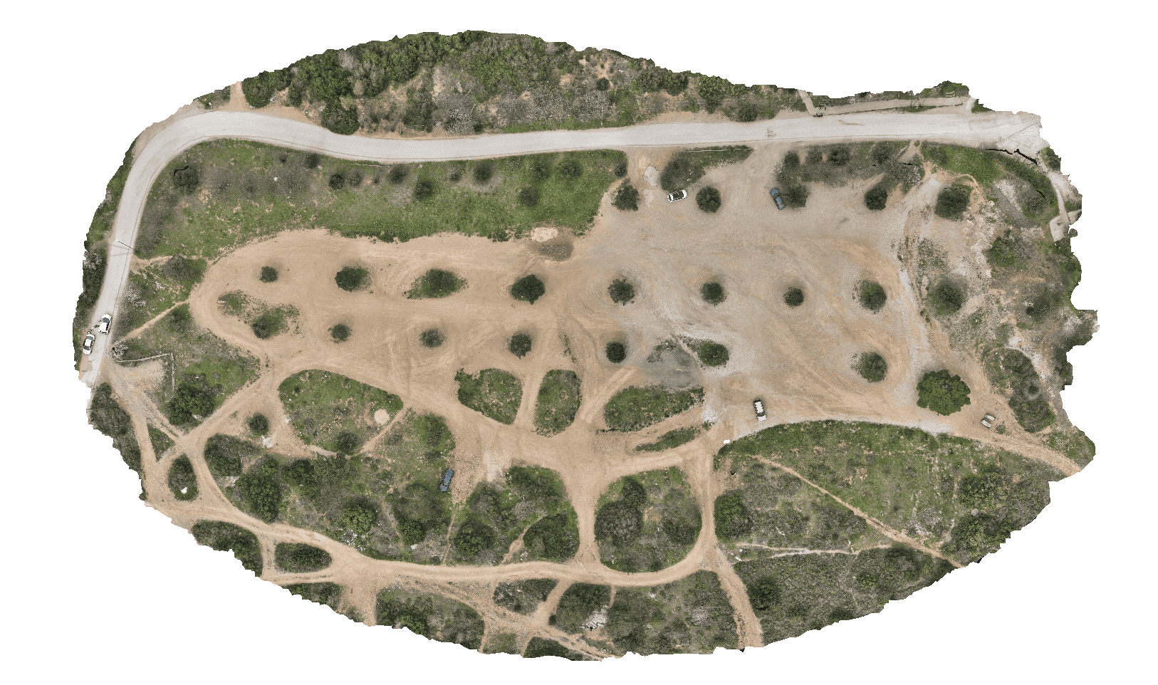
By post-processing the data, our company produces high-precision and high-resolution 3D digital models, orthomosaics, as well as point clouds, in order to export them for visual capture and highlighting of the research plan.
Photogrammetry is the name of the method by which the dimensions of an object are determined with a number of photographs, which can be taken either on the ground or from above ground. Photogrammetry was initially analog, then became analytical after 1970 and has now involved to digital, since 1990.


Deliverable files
- Point cloud in .obj,.ply,.txt,.las,.laz,.e57,.cl3,.pts,.dxf,.u3d,.pdf,.pcd,.zip, .slpk,.oc3
- Digital Surface Model (DSM) in geo.tif format
- Digital Terrain Model (DTM) in geo.tif format
- Digital Canopy Height Model (CHM) in geo.tif format
- Digital Elevation Model (DEM) in geo.tif format
- Orthomosaic in desired geodetic reference system in geo.tif, .png,.jpg,.jxl,.gpkg,.kmz,.zip,.mbtiles format
- 3D digital model (3D MODEL) in .obj,.3ds,.wrl,.dae,.ply,.x3d,.stl,.abc,.fbx,.dxf,.osgb,.osgt,.glb format ,.u3d,.pdf,.xml,.kmz,.slpk,.zip,.tls
- High precision orthophoto maps and iso-elevations
- 4K presentation video & 1080p for social media
- Detailed report

