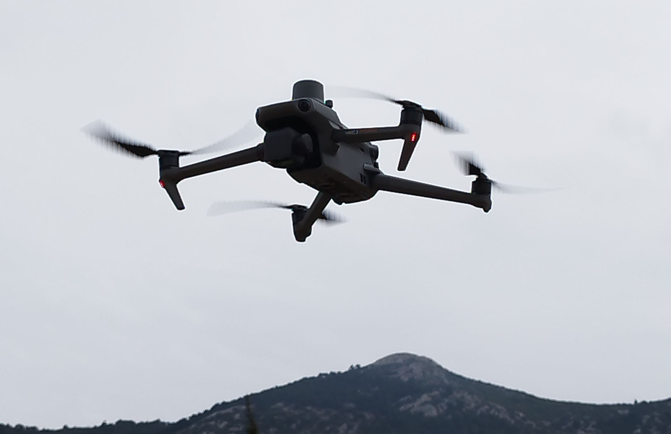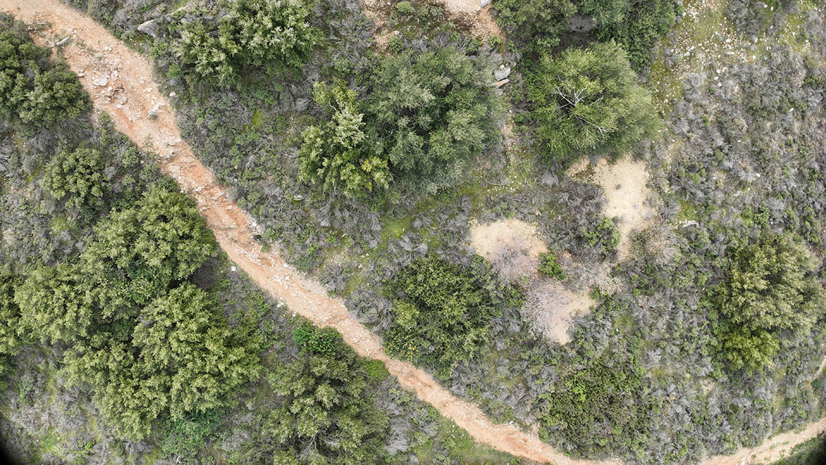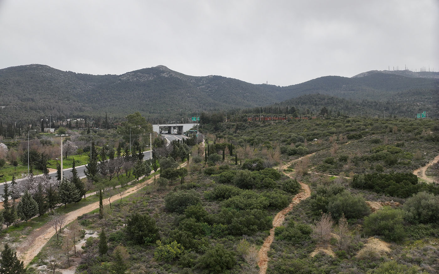

For the digital supply of the geographic databases, as mentioned in the Geographic Information Systems section, il Verde holds certified diplomas for handling Drone A1, A3 & A2 and owns the DJI Mavic 3 Enterprise drone/UAV – helicopter/unmanned aerial vehicle/fixed-wing aircraft ideal for mapping, with high-resolution RGB, 4/3 CMOS wide-angle sensor, mechanical shutter, zoom camera 56x and with the RTK Module for centimeter accuracy and the DJI Mavic Air 2 Drone with a 48MP camera and 4K Ultra HD video resolution.
For the creation and completion of a project, our company collaborates and rents any other drone/UAV deemed necessary for effective aerial mapping.

Reference Stations
To determine the exact geographic location (one centimeter accuracy) il Verde subscribes to the GNSS correction service HxGN SmartNet based on one of the largest reference station networks in the world, with 100 Full GNSS reference stations, that uses the transformation of HePos (HEPOS/GGRS87/TM87) ,which is a coordinates system provided by the Land Registry to all receiver manufacturers for input into instruments.

